Statewide :: News & Press :: Interactive Map :: Map Poster :: About the Map :: Landsat Lake Images
Landsat image gallery:
Southern Lake Winnebago
|
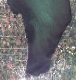
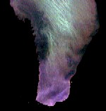
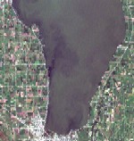
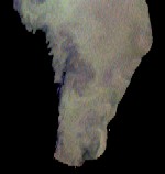
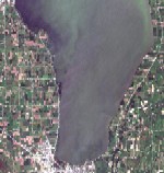
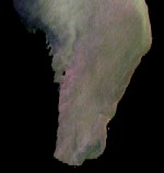
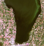
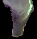
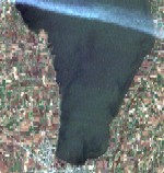
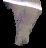
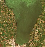
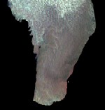
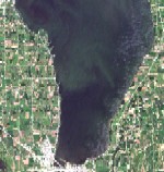
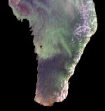
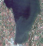
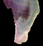
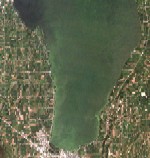
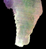
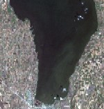
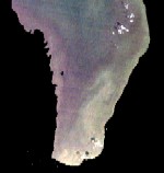
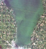
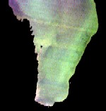
The following images were collected by the Landsat-5 and Landsat-7 satellites over the southern end of Lake Winnebago, Wisconsin. Within the lake itself, the various colors are primarily the result of suspended sediment (gray or brown) and algae blooms (green). The spatial patterns result from wind action, river discharge into the lake, and other factors (e.g., boat wakes visible in some images). Some of the images also are affected by haze, jet contrails, and sun-glint (specular reflection of sunlight off of waves).
All images were processed by Jon Chipman formerly of the University of Wisconsin Space Science & Engineering Center and WisconsinView. Please feel free to use these images, with credit to "UW SSEC and WisconsinView." Thanks for your interest in Landsat views of Wisconsin!
Click on the thumbnail images for full-resolution images (100 - 200 KB each). Images on the left are the "raw" data. On the right, the images have had the land "masked out" and a contrast stretch applied to the water, thus exaggerating the variation within the water. In both cases, Landsat bands 3, 2, and 1 are displayed as red, green, and blue respectively. |
LakeSat Home :: Field Spectroradiometry :: Statewide Lake Clarity :: -->SLOI :: MODIS Server :: ERSC :: UW-Madison
Skip address and contacts.
1225 W Dayton St, Floor 12 :: Madison, WI 53706
LakeSat Questions: Sam Batzli


North Temperate Lakes Long-Term Ecological Research Site
